
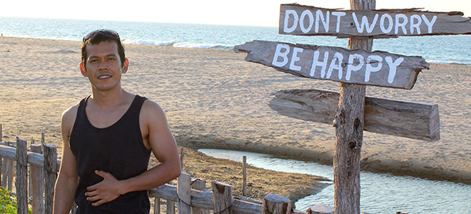
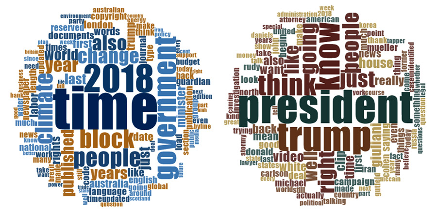
Red Cross/Red Crescent Climate Centre Internship Program
by Juhri Selamet
Maputo, Mozambique
 Juhri Selamet is the 2018 Junior Researcher in the Red Cross Red Crescent Climate Centre (RCRCCC) program. He is a PhD student in the College of Media, Communication and Information at University of Colorado Boulder. He has a bachelor’s degree from Bandung Institute of Technology, Indonesia and a master’s degree from the University of Illinois at Chicago. His research interests are visual communication, corporate social responsibility, climate change, water, conservation, media coverage of risk and the environment, and strategic environmental communication.
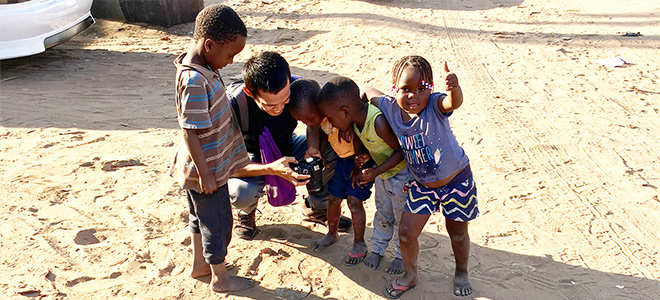
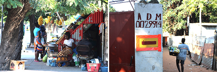
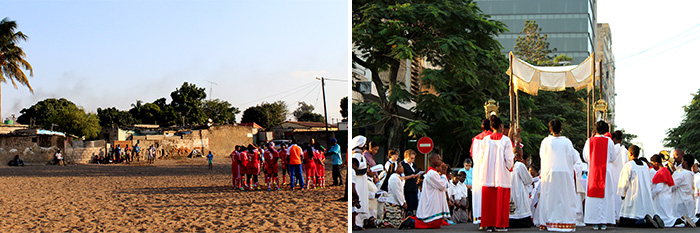
View photo gallery in the field by Juhri Selamet
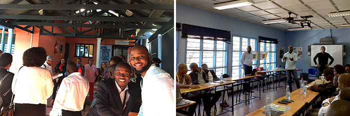
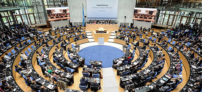
Arielle, Delegada da Pesquiça (Research Delegate of Forecast-based Financing) told me there was an exciting event held at Centro Cultural Franco-Moçambicano, Maputo, and she asked whether or not I was interested in joining the event, which, of course, I was. The Centro Cultural Franco was only about a 15 minute drive from Cruz Vermelha De Moçambique. It was a Climate Changes games event hosted by France Red Cross. When I arrived at the Center around 9 a.m., Janio Danio Dambo, Gestor da CVM do Projecto FbP (Forecast-based Financing project manager of Mozambique Red Cross), was already there to join and facilitate the event.
The participants for the event were from several institutions, such as NGOs and governmental institutions. From the participants’ introductions, I learned that some of them were from Instituto Nacional de Gestão de Calamides (INGC) (National Disasters Management Institute), Instituto Nacional de Meteorologia de Moçambique (INAM) (National Meteorology Institute), Direcção Nacional de Águas (DNGRH) (National Water Directorate), and Red Cross. From my observation, there were 13 female participants and 16 male participants for this event. After gathering in the center’s lobby for a short explanation about the activity, we moved to the second floor to partake in the workshop.
By 10 a.m., we started to play the game called “Climate Message.” We were divided into two groups. Eric SAM-VAH, Adjoint au chef de delegation, Gestion des risques de catastrophes – Deputy Head of Delegation, Disaster Risk Management from France Red Cross had prepared a climate message on a piece of paper to be shared with the groups. The climate message was in three languages: French, Portuguese, and English. In English, I noted the message was:
“Currently we are experiencing a strong ENSO signal, and are in an El Nino phase. There is a 60% chance that there will be less than average rainfall and a 45% chance that the maximum temperatures will be lower than average for the months of November, December, and January. The long-term forecasts show that there is an increased chance that the central parts of the country might experience drier conditions or even drought conditions.”
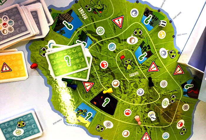
The message was passed one-by-one to each of the participants. They made shocked faces when they heard the message. Janio kept reminding the groups that there would be no repeating of the message, “Only say it once,” he said. Once the message reached the end of the line, Eric asked the last person of the groups to write down the message that had reached them; he asked them to read it as well. After that, Eric asked the first person who received the message to read the original message. One of the questions that I remember Eric asking the groups was, “What made it easy or difficult to communicate a climate message?” which, from my note, the groups responded the message was too long and too “complicado.”
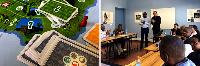
At the end of the climate message game, Eric, as facilitator, explained to us the game’s relevance to climate resilience and that complex climate messages could often cause more confusion than clarity. This light-hearted exercise could open the space for an exploration of the effectiveness of seasonal forecasts and how to communicate them effectively without oversimplifying the message. The objectives of this activity were learning to explore how complex climate messages are transferred and to explore options for appropriate use of climate messages. From this activity, as players for the games, we have learned the challenges associated with climate communication. It encourages us to take action and develop solutions to provide knowledge and understanding of the climate issue that could be adapted to local context.
There were many laughs and much discussion, and for sure, we had fun at that event. I was fortunate to attend and participate in this activity. Read more …
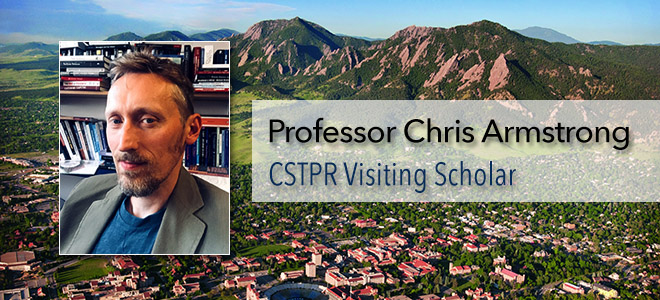
 CSTPR Graduate Student, Olivia Pearman was recently awarded the

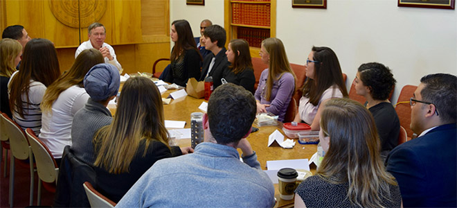
How to Find Out About Boulder Creek Streamflow: Data for Tube to Work Day and Your Other Summer Adventures
by Abigail Ahlert
CSTPR Science Writer
Photo above: Bienvenido León (2017 CSTPR FIRST Fellow), Max Boykoff, and Peter Newton (CSTPR Affiliate)
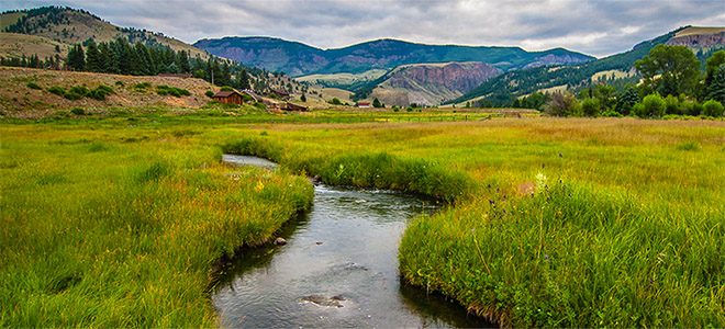
Boulder Creek is an iconic and vital Colorado waterway. Weaving through Boulder Canyon and into the city, the creek provides abundant opportunities for outdoor recreation. One of the most popular events on Boulder Creek is Tube to Work Day, which is billed as “Colorado’s premier aquatic mass transit”. This year’s Tube to Work Day, taking place on Wednesday, July 11th, celebrates 11 years of tube commuting on Boulder Creek.
It only takes a quick trip to the creek (or a viewing of some fun Tube to Work Day videos) to show that most of Boulder Creek isn’t exactly a lazy river. High, swift water can make activities on Boulder Creek adventurous, and sometimes even hazardous. In early June, a man tubing found himself stranded on a rock, unable to move through the rushing water to safety. The Boulder County sheriff’s office and numerous other rescue groups were called to the scene and successfully helped the man to shore.
While activities in Boulder Creek can be risky, understanding the streamflow can help minimize risk and maximize fun for those seeking aquatic adventures. Streamflow—the amount of flowing water—can vary greatly in Boulder Creek due to snowmelt, heavy rains or drought. One useful resource is the online “Rocky Mountains-High Plains Climate Dashboard”, hosted by the University of Colorado Boulder’s Western Water Assessment. The dashboard links to multiple resources on streamflow, temperature, snowpack and drought in the Rockies. The streamflow information is part of the U.S. Geological Survey (USGS) National Water Information System, which collects data from river sites around the country every 15-60 minutes.
Jeff Kagan, one of the founders and organizers of Tube to Work Day, uses the National Water Information System to plan the annual event. Kagan checks the website regularly in the three months leading up to Tube to Work Day. This way, the organizers can set a date for when they expect stream flows in Boulder Creek to be good for tubing. “It’s hard to time it perfectly, especially since flows can’t be controlled,” Kagan says. “Too big and it’s cold and downright dangerous, too low and there’s a lot of scraping tush and bruised knees, not to mention people who work in East Boulder won’t make it into the office until 11 am. It’s really a matter of assessing snowpack and looking at flow data from years past.”
Jeff Kagan, one of the founders and organizers of Tube to Work Day.
Streamflow is commonly measured in cubic feet per second (cfs)—one cubic foot per second means that almost 7.5 gallons of water are flowing each second. Kagan says the ideal streamflow for Tube to Work Day is between 150-200 cfs. That’s between 1100-1500 gallons of water rushing down Boulder Canyon per second, carrying commuters on their merry way. Kagan says that if the streamflow is ever over 300 cfs on Tube to Work Day, the event will be postponed. That doesn’t seem to be a problem this year—the streamflow is reaching its peak earlier than usual, which means that water levels may actually be on the low end by July 11th, particularly between Eben G. Fine Park and Broadway. Kagan expects that the Boulder Creek streamflow will strike “a nice balance between exhilarating and safe” for Tube to Work Day 2018.
Tubers aren’t the only ones in need of Boulder Creek streamflow information. Other outdoor recreators, such as fly fishermen, rely on accurate stream information to decide when and where to cast their lines. Jeremiah Osborne-Gowey is an avid fly fisherman and spent over 15 years as an aquatic and landscape ecologist throughout the West. He fishes Boulder Creek year-round, mostly for brown, rainbow and cutthroat trout.
Like Kagan, Osborne-Gowey is a user of the USGS National Water Information System. He also consults the NOAA River Forecast Center and the EPA Surf Your Watershed tool. Local knowledge is a valuable resource to him as well, since fly fishing shops often keep close tabs on nearby river conditions. Osborne-Gowey says that fishes have different preferences when it comes to streamflow and temperature (and a fun fact I learned from him: the plural version “fishes” indicates multiple species). “In general, fishes tend to be least active at the lowest and highest flows, which coincides with generally poor fishing conditions,” says Osborne-Gowey. He says trout seem to be most active when the creek flow is experiencing change (either starting to decrease from the highest flows or increase from the lowest).
When flows are too low to fish in Boulder Canyon, Osborne-Gowey will try heading up to Nederland, or to parts of South Boulder Creek. This is because the creek’s streamflow depends on the location where it’s measured. Currently, streamflow in the Middle Boulder Creek near Nederland is at 72 cfs. The streamflow in the eastern part of Boulder Creek near Longmont is much lower, at about 18 cfs.
By checking streamflow data, recreators can have safer and more ideal experiences in Boulder Creek. Osborne-Gowey also recommends wearing water shoes with good grip when fishing, since “balance when walking streams is an ever present thing to be aware of, with loose boulders, branches and roots, slippery conditions, et cetera.” For Tube to Work Day, the organizers require closed-toed shoes and helmets. They also strongly recommend that tubers wear personal flotation devices and wetsuits.
CSTPR Director, Max Boykoff at the 2017 Tube to Work day.
These precautions help keep people safe in Boulder Creek during average conditions, such as those expected for Tube to Work Day. But history has shown that the water is not always so hospitable. During the September 2013 flood, streamflow in Boulder Creek leapt to over 5,000 cfs. In nearby Lyons, the St. Vrain Creek (which is said to reach its peak during the spring runoff at 1,200 cfs), had a jaw-dropping estimated streamflow of over 26,000 cfs. This streamflow data is used by the National Weather Service to validate flood models and improve flood forecasts. In light of past flood events, Boulder County has numerous on-going projects related to floodplain management.
When it comes to Colorado waterways, preparation is the key. Below are the most helpful resources for you to safely navigate some of our state’s rivers and creeks this summer:
Environmental data
Helpful tips from past years
Thanks to Ursula Rick and Jeff Lukas for introducing me to the Rocky Mountains-High Plains Climate Dashboard.