by Matthew Shupe, CIRES/NOAA scientist and co-coordinator of MOSAiC
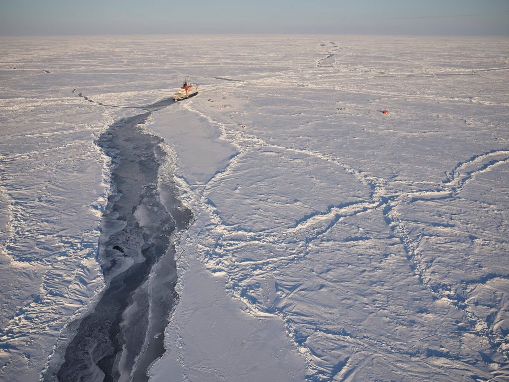
I’ve done the Transect a couple of times now. It’s basically a walk that meanders along the edge of the floe, all the way around in the counterclockwise direction. Along the way there are two kinds of measurements: The magnaprobe and the GEM. I’ve done both of these now. The first is kind of like a walking stick that is put down to the surface every 1-2m with a device to measure the snow depth and melt pond depth. The second is some sort of electromagnetic device that gives information on ice thickness as it is pulled along on a pulka. The path goes through many conditions and is repeated every day or two…. Always along the same course. That’s kind of the point: to capture the evolution of the surface as it partakes in the melt season. Melinda has been leading these transects, and she makes it fun; engaging people in the various tasks along the way.
Another great aspect is simply getting out. This path takes you as far away from the ship as you can get on this floe, and there are many tremendous sites along the way. The huge mountain of a ridge right at the floe’s edge towards the back of the ship, where you can stand there some 4 meters above the water and look down at a huge, submerged chunk of ice that must stick at least 10m down. The transect also goes through numerous ponds and it’s fun to experience their weakening bottoms that seem to crumble underfoot. They’ve been getting quite deep lately and melt is rapid. Good thing that we wear survival suits to go on this excursion.
On the far side of the floe is a chunk of old ice, riddled with stones everywhere. I have no idea how there could be so many embedded in the ice. Then the transect loops back around to the First Year Ice side, where the ice is generally thinner and the coastline has eroded significantly over time leading to an ever-evolving interface with the open water. On that side there are some fantastic drainage channels…. Basically rivers that drain a complex network of ponds further inland.
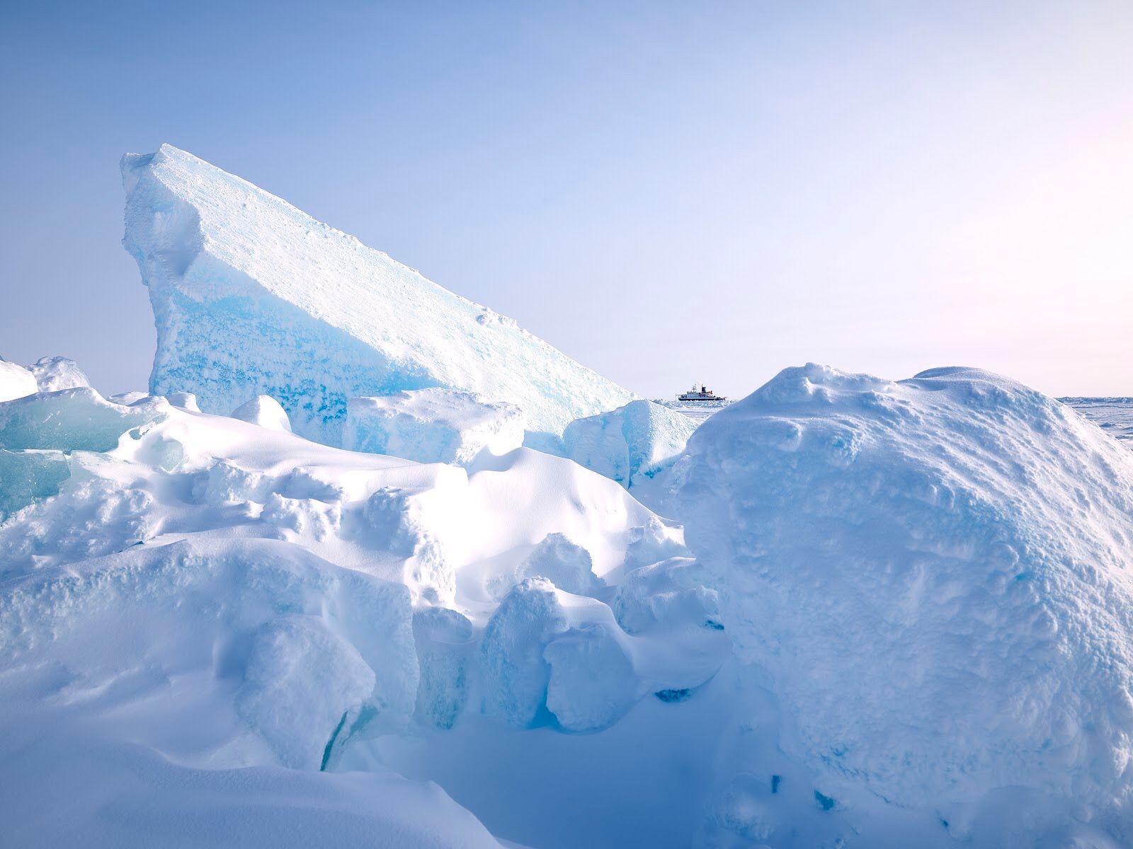
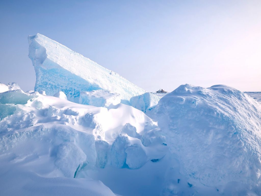
The last part of the excursion travels out past the drone airport and back towards the central camp. This edge of the floe has always been interesting, a location where there once was a big ridge that then separated leaving large blocky walls at the floe’s edge. Some remnants still stand…. But much of this area has also eroded away into the surrounding open water. On a still day out on this side, it is so peaceful. The way back from there has been cut off for some days now by encroaching water, and so instead we cut into the middle of the floe, past some of the other sites, and back to the ship. It’s such a nice walk, a peaceful walk. A time to regain some balance. And a great time for me to better understand some of the science conducted by the sea ice team.