by Radiance Calmer, a CIRES postdoctoral researcher
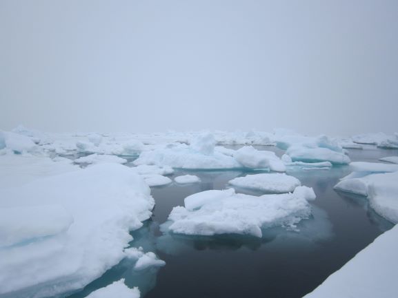
It’s already 2 pm. The ceiling is low, and we are flying with the Datahawk – hoping to still get valuable measurements of the boundary layer. The visibility is not great with the fog around, and despite all the colorful tape that Jonathan has stuck on the aircraft, the white shape of the Styrofoam drone is not easy to spot. I’m at the ground station, while Jonathan is keeping an eye on the Datahawk during the automatic profile. Usually, the GPS coordinates of the aircraft are displayed on a Google Map background, therefore, based on the features of the terrain, it’s easy to evaluate distance and position. In the Arctic, there is no map. The local reference frame based on our location relative to the drone is easier to use rather than a North-South reference frame. However, there is a big unknown in our flight plan: the drift. Sometimes we are moving really fast. Today, we approximated the drift to 18 m/min, and the direction is also different from day to day. During a 45-minute flight, we move more than 800 m from where we took off! So, creating the grid pattern for the copter’s flight plan is often challenging. Once all the waypoints are uploaded to the copter, their location is not anymore above the part of the floe where we want to fly! It turns out that the velocity of the copter was similar than the drift of the ice, preventing the drone to make any relative progress. The most challenging situation is when the drift of the floe is changing direction during the flight, and completely messes up all our flight planning.
- Jonathan: “Could you move the Datahawk closer to us?”
- Me: “Sure, let me update the circle position.”
- Jonathan: “Mmmm, why is the aircraft flying away from us?”
- Me: What!?! Oh no! We’ve rotated in another direction! “
The drift is hard to accommodate, as we are so used to a fixed reference frame in our daily life. On the ice, we have barely any visual indication around us that we are drifting, only the GPS position of the drone is a reminder that we are above the ocean, on a piece of ice, dependent of Nature’s will.