by Matthew Shupe, CIRES/NOAA scientist and co-coordinator of MOSAiC
The GFS [a U.S. national weather model] is crushing it out here in the Arctic. In the past weeks we’ve had a couple of key operational days when the models diverged in their weather forecasts. Will it be socked in with overcast clouds and fog, or will there be a wide band of clear sky in our area? In both cases the European models we use out here for operational planning indicated the former, while GFS predicted the latter. These disagreements have effectively set up a periodic competition of the models, which specifically examines how these models perform in a remote region with few observations for data assimilation.
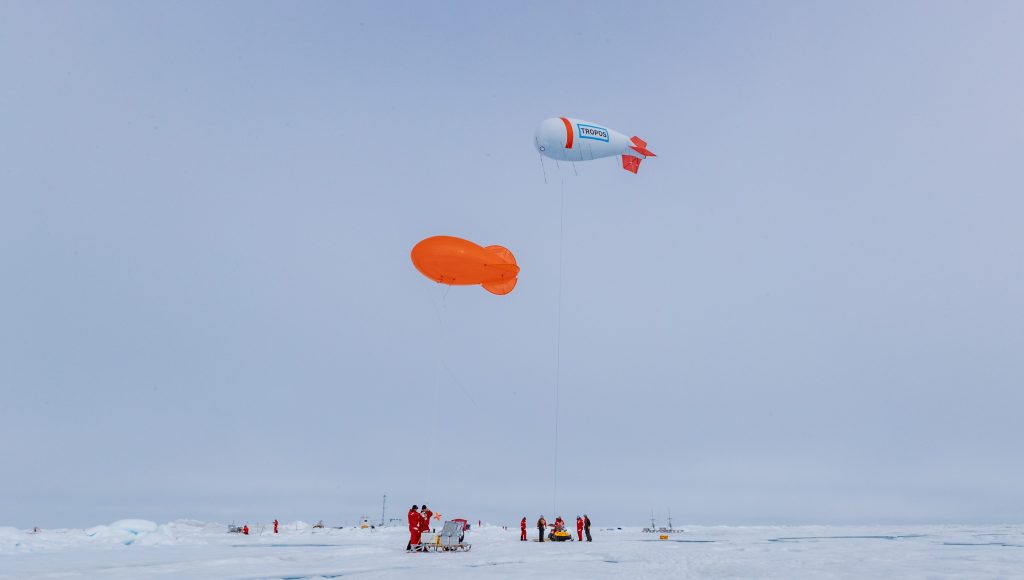
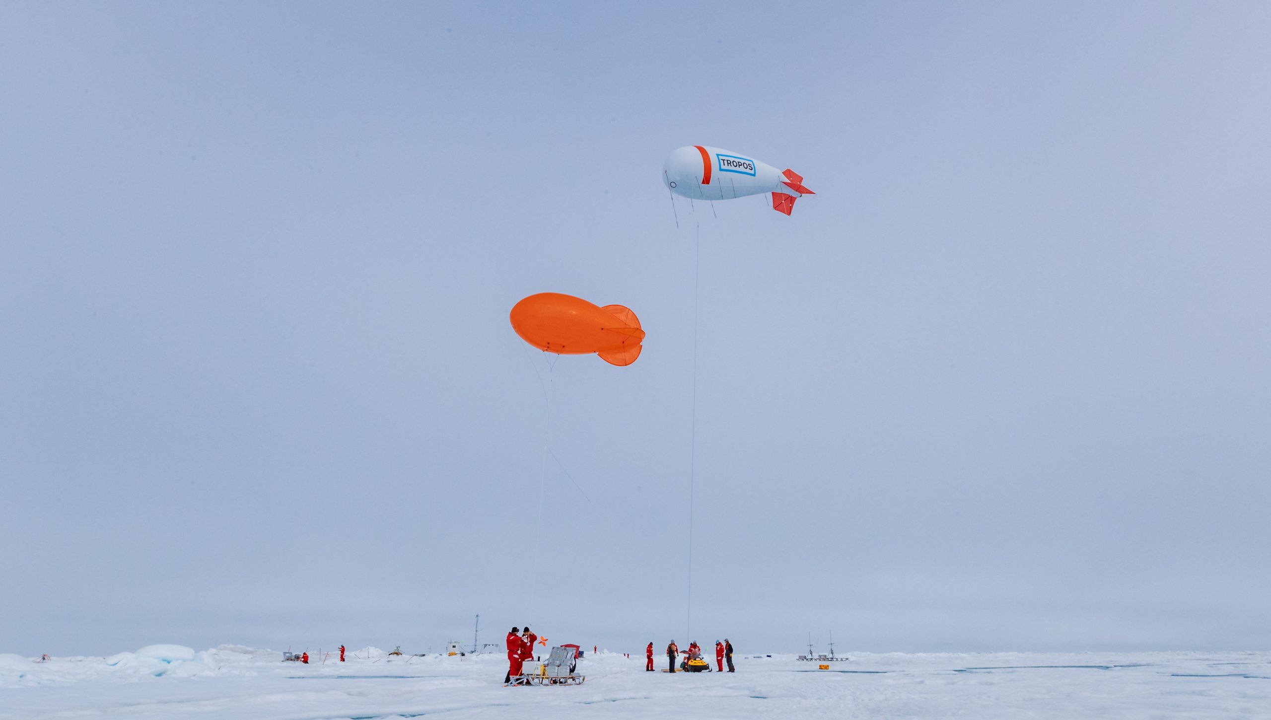
Today, as with a similar day a couple weeks ago, GFS has hit it right on. I’m standing here in the middle of a beautiful, clear-sky day on the sea ice in the Fram Strait. Sun is reflecting off of perfectly still melt ponds. We have tethered balloons flying, drones in the air, and numerous helicopter missions all buzzing around, in addition to many other activities on the ice. We are out here collecting a wealth of information on clouds, the atmospheric structure, surface energy transfer, sea ice processes, and more, all to help evaluate and improve our predictive models. While it certainly still has its deficiencies, lately GFS has done a great job of hitting on some uncertain forecast conditions.