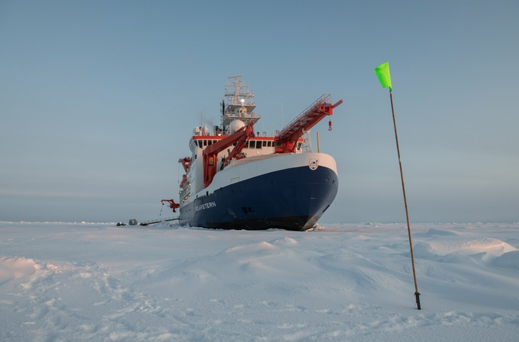
Markus, Marcel Nicolaus (AWI scientist, co-lead of MOSAiC), and I went out to explore our new home. Traversing across the ridges form the ship over to the outer wall of the Fortress. Clearly more stability over there, about 200m from the ship. The exploration went well, and was so exciting. It’s like checking out a new home. We used this special map created out of laser scanner information taken from a helicopter survey. It is awesome! Such high resolution that you can make out all kinds of detailed structures and features in the surface. What would Nansen think of such new inventions? I’ve been obsessed with these maps, identifying our locations and drawing in our plans. People are making fun of me for constantly having a map in my hands….. but this is the process of our “move-in” on the ice and it is time to be quick and effective. Our trip helped us set up the general concept for our installations, but now comes the more challenging part of implementing.