
The GPS acoustic system being installed on deck.
Last night we towed a buoy behind the ship to make GPS-Acoustic measurements. Here is a description of the method from Kido et al., Geophysical Research Letters, 2011:
“The GPS/acoustic technique, which was proposed and
developed by the Scripps Institution of Oceanography
[Spiess , 1985], consists of two essential components: thekinematic GPS of a surface platform, and acoustic ranging
between the surface platform and an array of seafloor
transponders. As introduced by Kido et al. [2006], we used a
towed buoy navigated near the center of the transponder
array as the surface platform during a campaign (hereafter
called a stationary survey). The shape of the transponder
array is assumed to be rigid through repeated campaigns
over the years because of its relatively short baseline. With
the assumptions that sound speed in the ocean is laterally
stratified and that the seafloor moves only in the horizontal
direction, the horizontal position of the array and the mean
sound speed from the sea-surface to the bottom can be
determined with a single acoustic ping of simultaneous
ranging to all the transponders [Kido et al. , 2008]. The
temporal position of the array is then obtained as a time
series for thousands of pings. The final position of the array
in a campaign is determined by averaging the fluctuations in
these time series, which are presumably due to undesired
spatio-temporal variation in the sound speed beyond the
stratified approximation. The resultant accuracy of array
positioning in a single campaign is typically 5 cmdepending
on the ocean conditions and duration of the survey.”
With this method we can make very precise measurements of a position on the seafloor, and by repeating measurements over several years and comparing them with sites on land, can measure the motions of the tectonic plates and motions associated with large earthquakes. Similar seafloor GPS-acoustic measurements were made before and after the 2011 Japan Tohoku-Oki earthquake, and found displacements of the seafloor by 31 meters horizontally, which is huge.
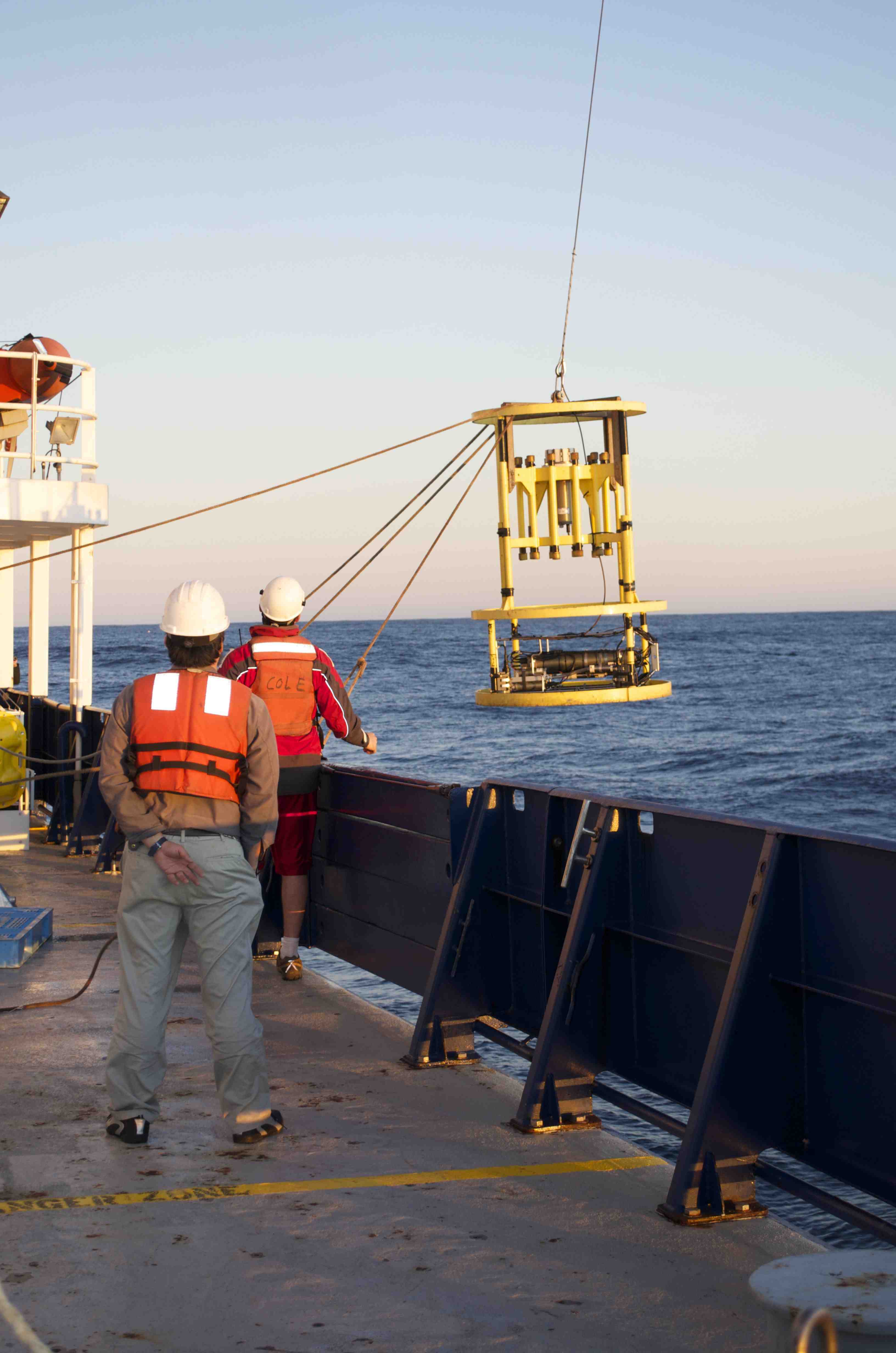
Conductivity Temperature Depth (CTD) probe being lowered into the water. This instrument measures the electrical conductivity of the water (which is related to salinity) and the temperature of the water as a function of depth as it is lowered into the water. Both of these parameters affect sound speed in water, and need to be accounted for to accurately position the seafloor GPS array.