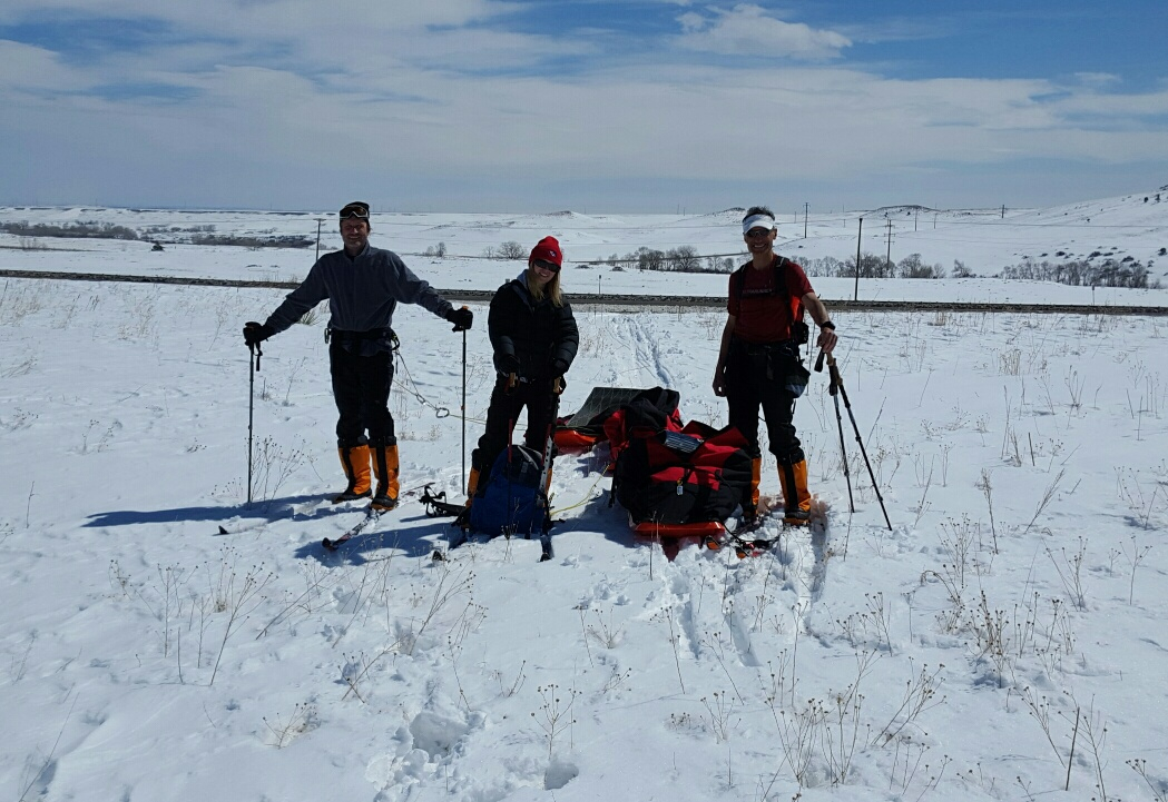
Baffin team (l to r): Dr. Jason Reimuller (Project PoSSUM: http://projectpossum.org); Dr. Ulyana Horodyskyj (CIRES and NSIDC), Mr. Jorge Rufat-Latre (Boundless Focus LLC). Credit: Ulyana Nadia Horodyskyj
(This post is written by Ulyana N. Horodyskyj, Ph.D., CIRES Research Associate––their field expedition began on Monday, April 11.)
Deposition of black carbon or soot (pollution) and dust is a problem on accumulation zones of valley glaciers and on icecaps worldwide. This soot is the result of incomplete combustion of biomass and fossil fuels (e.g., Goldberg et al., 1985), while dust is released from devegetated or dry soils due to land use changes. These dark contaminants absorb more solar radiation, thereby reducing the natural albedo (reflectivity) of snow and ice, and leading to enhanced melting (e.g., Kaspari et al., 2011).
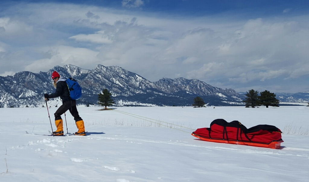
Ulyana Nadia Horodyskyj, research associate with CIRES, pulls her weight. Credit: Ulyana Nadia Horodyskyj
Given the vast amount of terrain the glaciated parts of the world cover, we tend to rely on satellite data to help us determine snow/ice albedo and use those numbers in melt models to forecast the future. However, Warren et al (2013) show that remote sensing data from orbit are ineffective at detecting black carbon on the ground. Polashenski et al (2015) have discovered that one of the sensors on MODIS (Moderate Resolution Imaging spectroradiometer), onboard the Terra/Aqua satellites is malfunctioning and causing misinterpretations of data — data that ultimately is used in sea level rise predictions. In addition, MODIS ‘footprints’ on the ground are quite large, at 500 x 500 meters. The results obtained are average albedos for those areas, leading to additional possible underestimates or overestimates of albedo and hence, melting, as the numbers ultimately are used in melt modeling equations.
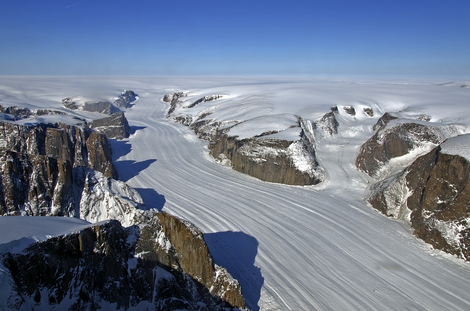
Penny Ice Cap, Baffin Island, Nunavut, Canada. Credit: NASA
This project work aims to calibrate and/or validate what we see from orbit (MODIS) via a ground campaign. The Penny Ice Cap on Baffin Island provides an excellent platform for controlled albedo studies given its large area, which fits within multiple MODIS footprints, and relatively flat terrain without interfering surrounding mountainous terrain like in the Himalaya. To minimize our carbon footprint, we will fly a Cessna 210 to Baffin Island from Rocky Mountain Metro Airport and use skis and sleds to cross Penny Ice Cap, all the while tracking the MODIS satellite on the ground and setting up a natural laboratory to make ground measurements.
References
Goldberg, E., (1985), Black carbon in the environment, Wiley and Sons, New York, NY.
Kaspari, S. D., Schwikowski, M., Gysel, M., Flanner, M. G., Kang, S., Hou, S., and Mayewski, P. A., (2011), Recent increase in black carbon concentrations from a Mt. Everest ice core spanning 1860–2000 AD, Geophys. Res. Lett., 38, L04703, doi:10.1029/2010gl046096.
Polashenski, C.M., Dibb, J.E., Flanner, M.G., Chen, J.Y., Courville, Z.R., Lai, A.M., Schauer, J.J., Shafer, M.M., Bergin, M., (2015), Neither dust nor black carbon causing apparent albedo decline in Greenland’s dry snow zone: Implications for MODIS C5 surface reflectance, Geophys. Res. Lett., 42, doi:10.1002/2015GL065912.
Warren, S. G. and W.J. Wiscombe, (1980), A model for the spectral albedo of snow II: Snow containing atmospheric Aerosols, J. Atmos. Sci., 37, 2734–2745.