by L. Dilling, K. C. Kelsey, D. P. Fernandez, Y. D. Huang, J. B. Milford, and J. C. Neff
Environmental Management
June 2016
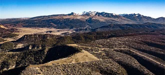
Abstract: Federal lands in the United States have been identified as important areas where forests could be managed to enhance carbon storage and help mitigate climate change. However, there has been little work examining the context for decision making for carbon in a multiple-use public land environment, and how science can support decision making. This case study of the San Juan National Forest and the Bureau of Land Management Tres Rios Field Office in southwestern Colorado examines whether land managers in these offices have adequate tools, information, and management flexibility to practice effective carbon stewardship. To understand how carbon was distributed on the management landscape we added a newly developed carbon map for the SJNF-TRFO area based on Landsat TM texture information (Kelsey and Neff in Remote Sens 6:6407-6422. doi: 10.3390/rs6076407 , 2014). We estimate that only about 22 % of the aboveground carbon in the SJNF-TRFO is in areas designated for active management, whereas about 38 % is in areas with limited management opportunities, and 29 % is in areas where natural processes should dominate. To project the effects of forest management actions on carbon storage, staff of the SJNF are expected to use the Forest Vegetation Simulator (FVS) and extensions. While identifying FVS as the best tool generally available for this purpose, the users and developers we interviewed highlighted the limitations of applying an empirically based model over long time horizons. Future research to improve information on carbon storage should focus on locations and types of vegetation where carbon management is feasible and aligns with other management priorities. Read more …


