by Matthew Shupe, CIRES/NOAA scientist and co-coordinator of MOSAiC
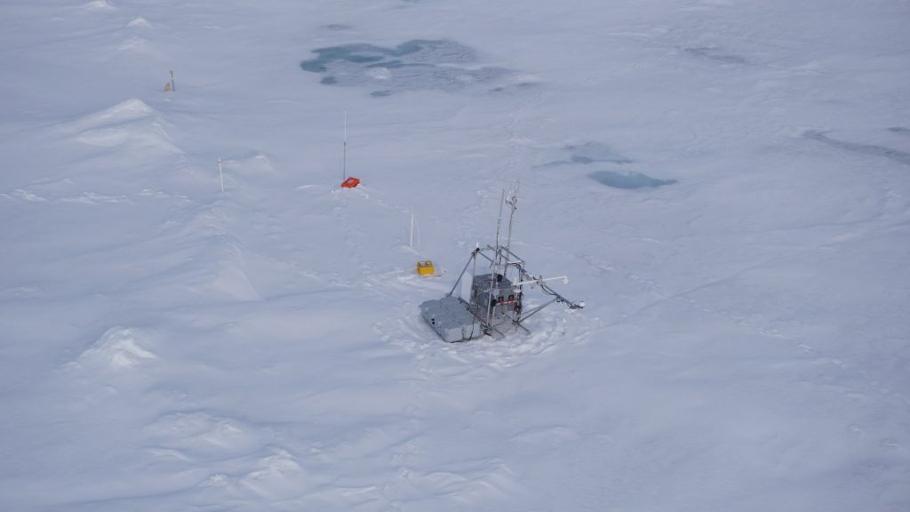
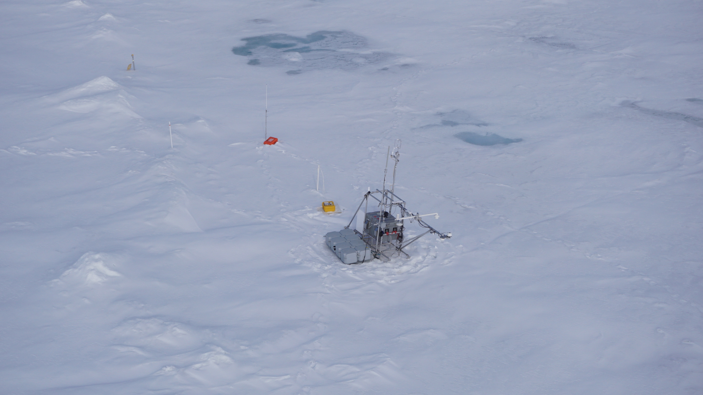
I saw our flux station today, the one that’s been operating at the MOSAiC floe. A window of favorable flight conditions allows Markus and I to fly out to explore the floe and assess the conditions. We’ve been pouring over satellite images, identifying different ice floes in the area. In some images it is possible to see the track of Polarstern as it left the area a month ago. We’ve been able to match up these images with laser scanner surveys done via helicopter before the Leg 3 people left this area. It appears that not much has changed. So, armed with some of these maps of the area, and the latest GPS coordinates from our drifting flux station, we headed out with the helicopter. Our first solid reference came when we found the “Monster,” which is a large buoy installation that was on the edge of camp. Then some smaller stations for measuring ice temperature and optics… then, there in the distance, was our flux station. Standing proud. I knew it would be there because I’ve been tracking the data… But somehow still, the visual contact was so relieving. That station is so important for the science I’d like to accomplish out here. It has been tracking the melt onset in splendid fashion. The data look great. And indeed there were local signs of the melt season coming. Shapes in the area, in light blue, but then masked again in a thin white layer of snow. There has been periodic melt and the water flows to the low spots on the ice to form ponds. But in the last few days the atmosphere cooled off a bit, such that the melting slowed or stopped. And the melt water may have frozen over again in some spots. And then the fresh snow on top again increases the surface albedo to the point that it diminishes the amount of sunlight being taken up by the surface. I’m so happy to have a station closely watching this process unfold. Further to the north we found a pile of wood that used to be near the ship. And then, way further north, the Met Hut. Or at least its remains. The hut has been snapped in half and is now sitting in a pond about 1 foot deep. This pond was apparently formed by the subduction of one chunk of ice below another, such that the water is likely salty instead of actual melt water. In any case, we will be headed there at some point to recover these pieces, and possibly use them to build a scaled down version of a hut for our new installation.
We flew all around the remaining part of the Fortress. The main part is still intact and in good shape. Very ridged. And seemingly quite dirty. The edges of the forming melt ponds are darker. The suggestion is that this is sediment that is common in the ice that forms on the Siberian shelf. We will have to explore this point further once on the ground. And it will be important to discuss with the different science teams how their science meshes with this current floe. We have the benefit of long term measurements at this floe, and continuity is important. But is this floe too dirty? Is it too ridged? Is it too small? Great topics to discuss. Ideally we continue our measurements in a way that can be “representative” of the current Arctic. Clearly the coming days will be important for making this decision.


