After weeks of building up base-level knowledge on relevant computer programs, I am finally getting a move on with my project. I wrote my first code using Python (very exciting) which opened a text file containing a list of photo names which I had compiled earlier, found the images associated with the photo names, copied them into a new folder, and then cropped each image into four smaller images. From this new folder of images, I am now using an open source program called LabelMe to annotate the images. For each image, I use the program to select which parts represent bedrock, colluvium, or trees. It is definitely a time-consuming process (I have around 400 images in this folder) but is a crucial step in the overall scope of the project.
The most exciting part of this upcoming week: on Tuesday, Katy, Jess, a few others, and I are taking a trip to Chalk Cliffs (our field site). We will be packing up the drone and equipment and hiking up to the ridge at the top of the catchment to take more pictures.
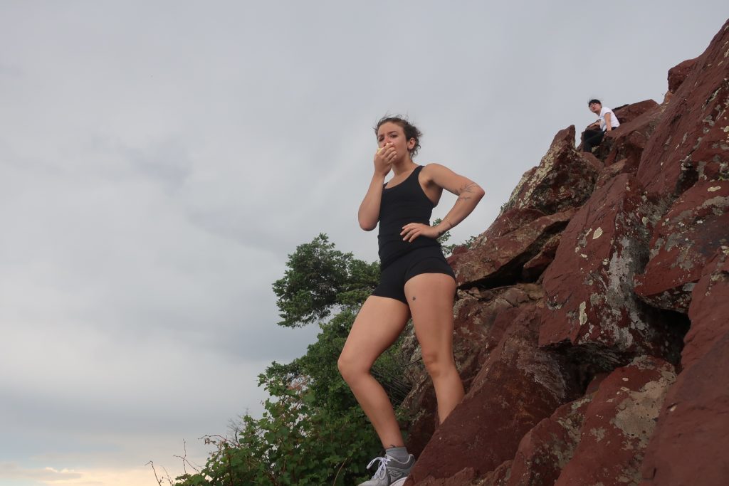
To get my leg muscles in shape, Claire and I tackled a local Boulder hike this weekend up to Bear Peak.

