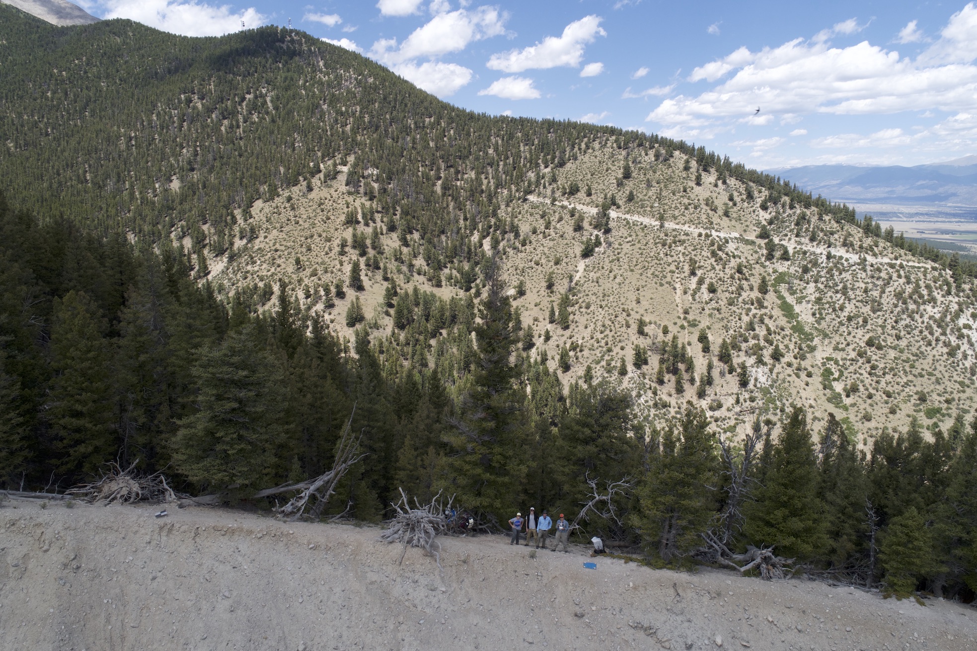
Week 3 has been excellent so far! On Monday, my mentors and I hiked up the Chalk Cliffs (which is quite the workout – 30 degrees is a lot steeper than it sounds). It was an all-day affair, going from 6am to 5pm, and I enjoyed every minute of it. Having never been to the Cliffs before, much less to the top, I was stunned when we broke through the last of the trees. Simply put, it is gorgeous! Once we arrived, we got straight to work setting up the launchpad and preparing for flights. Katy’s iPad displays not only the drone’s (who is affectionately named Drone Pants) path, but also real-time video from the camera, which is pretty spectacular to watch. Drone Pants had his work cut out for him; there were very strong winds coming over the ridge which made take-offs and landings rather interesting, but Katy is a skilled pilot and pulled it off. Eventually the winds died down and the temperatures rose, prompting the use of a sun umbrella for the laptop. Sadly (and somewhat humorously), Mother Nature wasn’t done with us yet – one last spiteful breeze scooped up the umbrella and whisked it into the channel. I offered to climb down and retrieve it, but after getting a closer look at the topography images today, I’m grateful to have been met with resounding “NO!”s.
The journey down and home was fairly uneventful, with one notable exception. After hitting a small traffic jam (only a few cars), we noticed a bear moving off the road. We were all excited about this glimpse of cute Mr. Bear until we realized it had been hit by a car and was injured; it couldn’t walk and rolled a bit down the embankment before stopping. It has to be one of the sadder, pitiable things I’ve ever seen, and I hope that the authorities we later passed got there in time to put it out of its misery without much suffering. Poor bear 🙁
Despite the unfortunate bear incident, it was a successful day. We completed 10 flights and collected roughly 1000 images that I began combing through today in Agisoft; I should have a model done before the end of the week and can begin exploring the impact of the ground control points on the model’s accuracy.
Until next time!
Jess
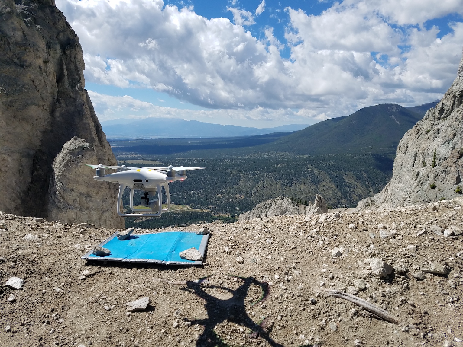
Drone Pants taking off
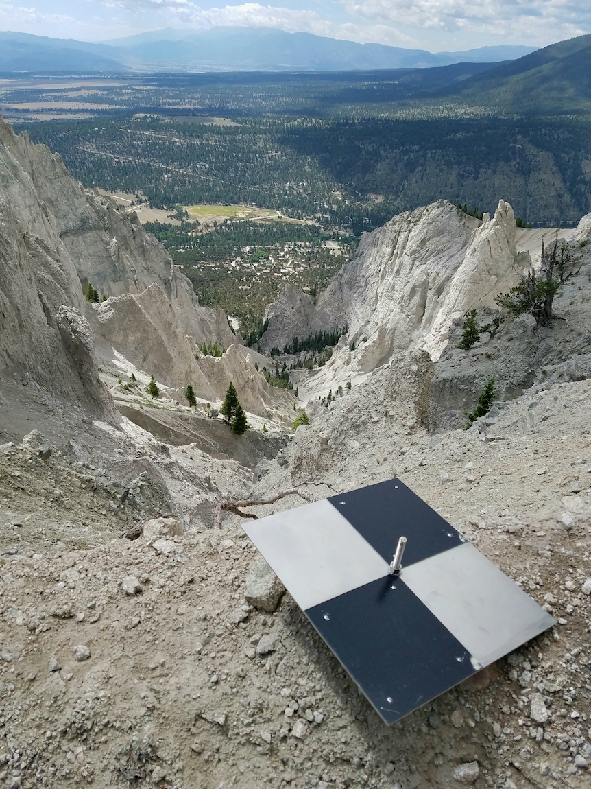
RD4, the ground control point from which we fly
Hanging out with Drone Pants
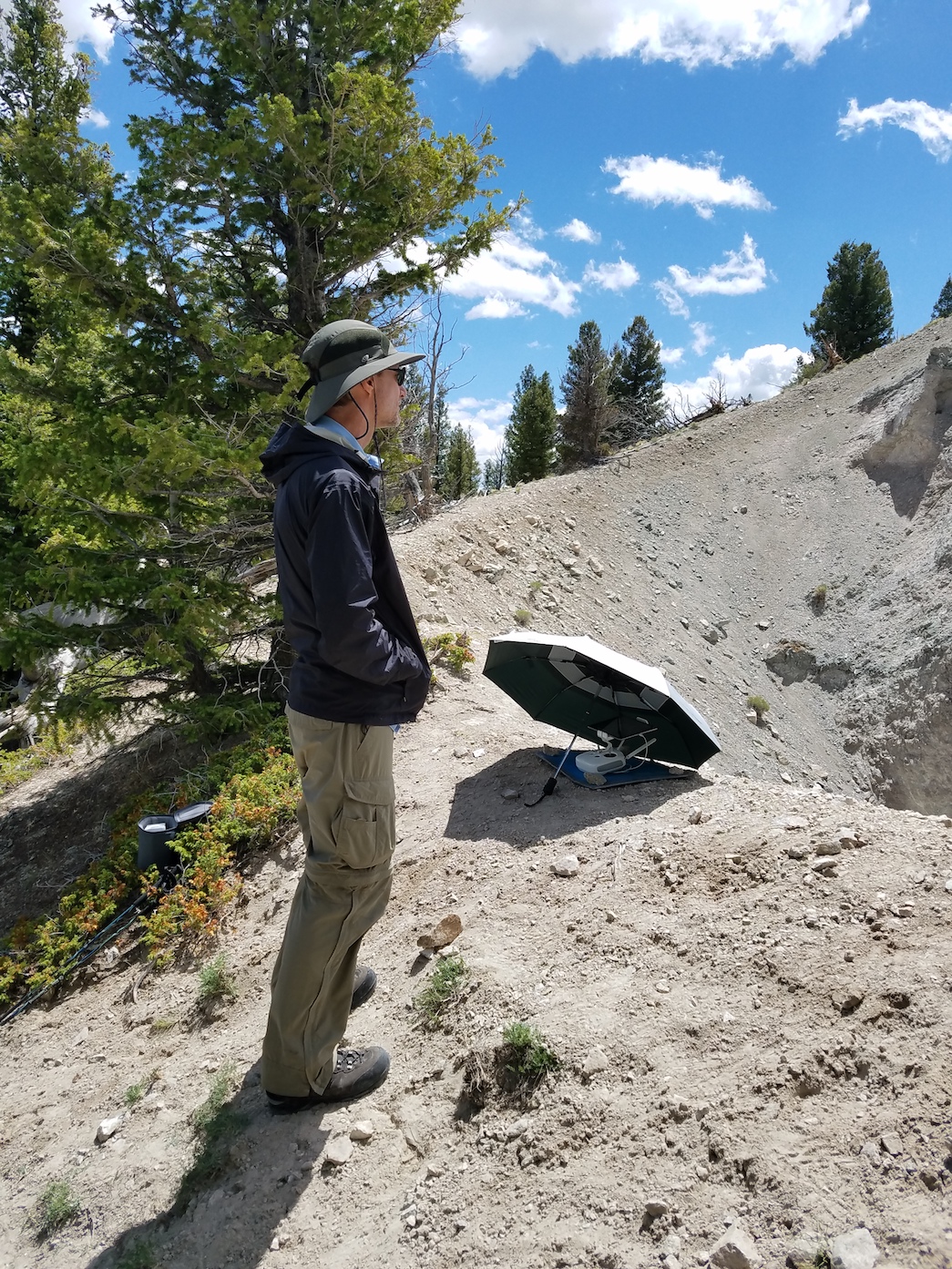
Moments before the sun umbrella’s demise
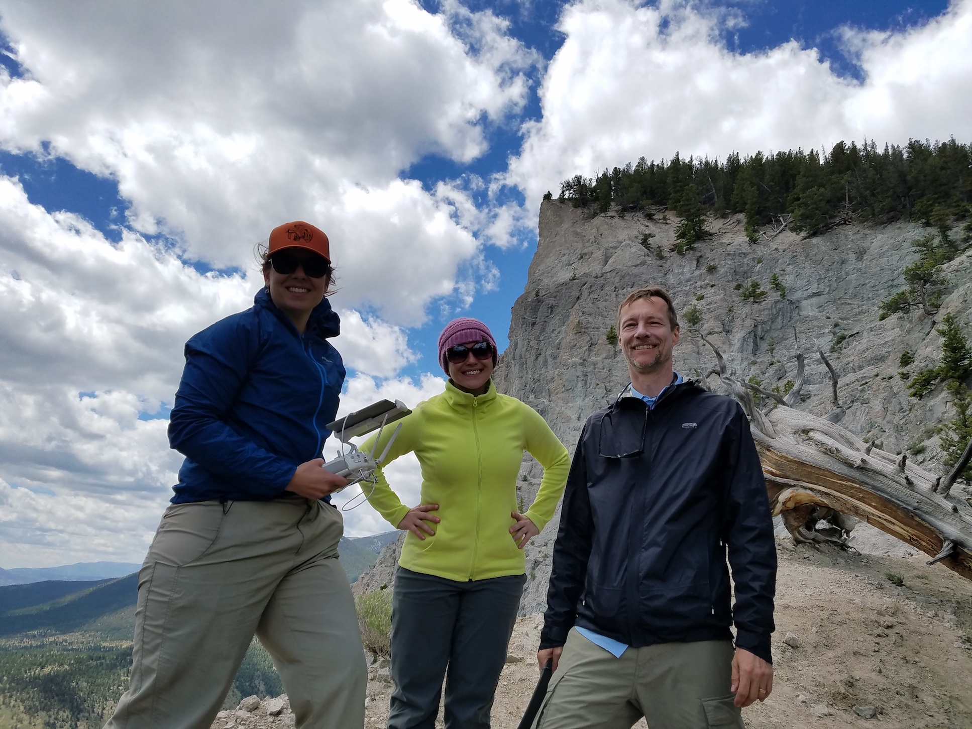
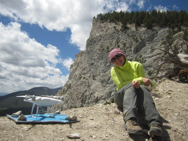
Katy, myself, and Greg
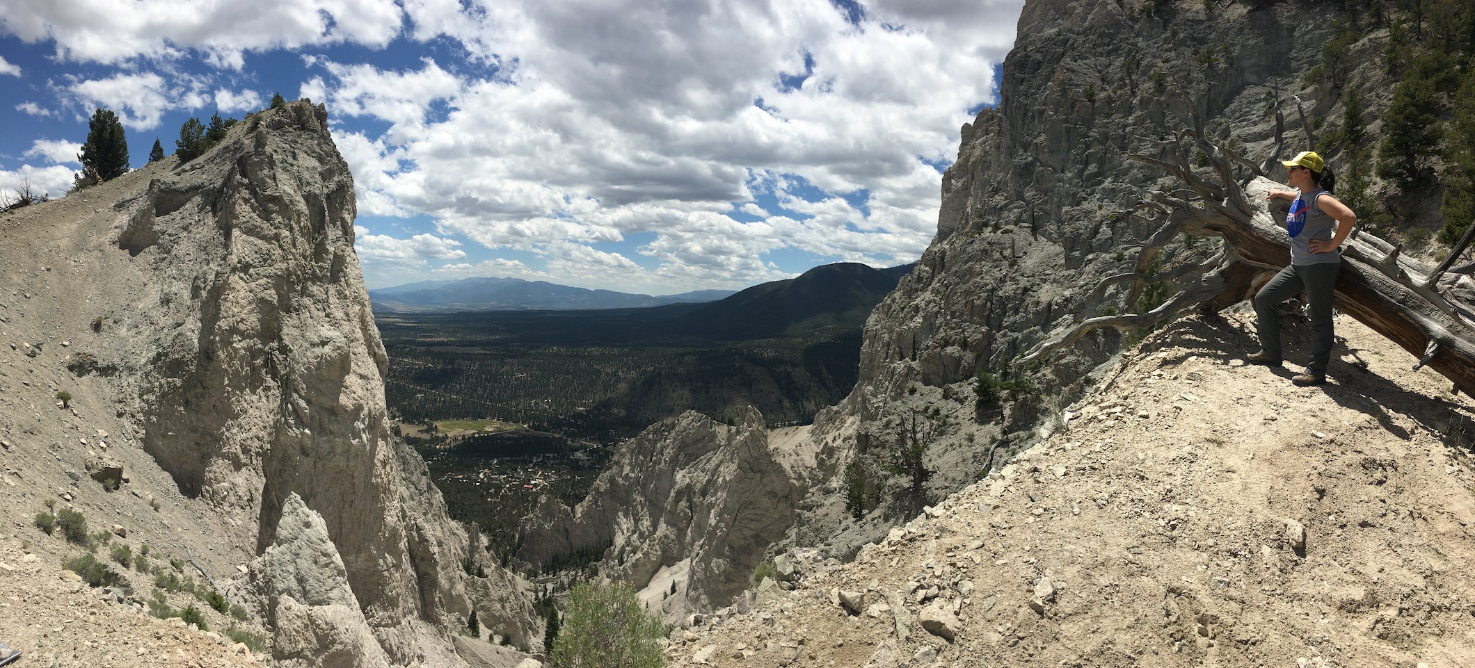
Looking out over the debris channel
Drone selfies