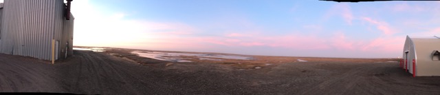
No matter what time of day, sunrise can make for some beautiful scenes over the tundra…
The last two days the winds have been blowing at 20-35 mph. The lower end of this range is pretty close to the operational limit of the small aircraft we brought with us, and given it’s very early in the campaign and the forecast continues to promise better weather ahead, we decided to spend yesterday and today making progress on “to-do’s” that were not accomplished on our arrival day. This includes putting additional planes together, calibrating instruments and generally setting ourselves up for productive flying once the wind allows it.
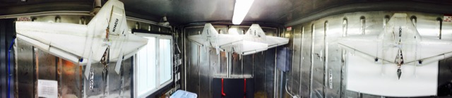
DataHawks, doing their best “bat” imitation, while waiting for better weather.
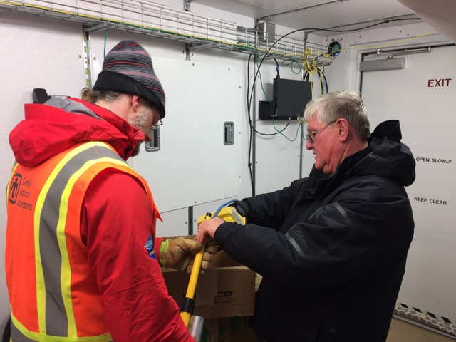
Steve checks on the temperature of the water bath we were using to provide a rough calibration for the infrared sensors carried by the planes.
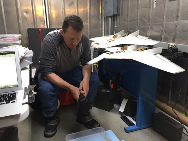
Carl does some last minute work to prepare his instrument, the VIPS, for action later this week.
This break in the weather allows for a nice opportunity to provide some details on what we are looking to measure while we’re up here. Generally, we’re interested in improving our understanding of processes that control energy transfer at the Earth’s surface. These processes ultimately dictate the rate at which ice grows or melts, and less directly, the rate at which the atmosphere warms or cools. One of the biggest modulators of surface energy is clouds – the presence of clouds very much changes the amount of radiative energy making it to the surface. Therefore, one major objective is to get some measurements of processes related to cloud formation and maintenance. To do this, we’ll be flying a few different instruments on the tethered balloon system that ARM operates. This includes a small camera system (the NCAR Video Ice Particle Sampler, or VIPS) that will be taking pictures of ice crystals in these clouds, a turbulence pod developed by Ian Brooks at the University of Leeds in the UK that will make measurements of the turbulent structure of the atmosphere in and below the cloud layer, an aerosol spectrometer (POPS, developed by the NOAA Chemical Sciences Division) and a variety of sensors that measure temperature, humidity, winds and liquid water content in the clouds. When put together this will provide a multi-angled view on the clouds and the environment in which they exist. Additionally, this information will be used in conjunction with the ground-based instrumentation deployed by ARM to advance retrieval techniques, These are the algorithms used to infer information on the properties of clouds, precipitation and other things. As a matter of fact, we took advantage of the winds to help Fred Helsel of Sandia install another instrument that will provide critical information in this regard, the Precipitation Imaging Probe (PIP) developed at NASA.
Matt and Fred prepare portions of the PIP for installation on the AMF-3.
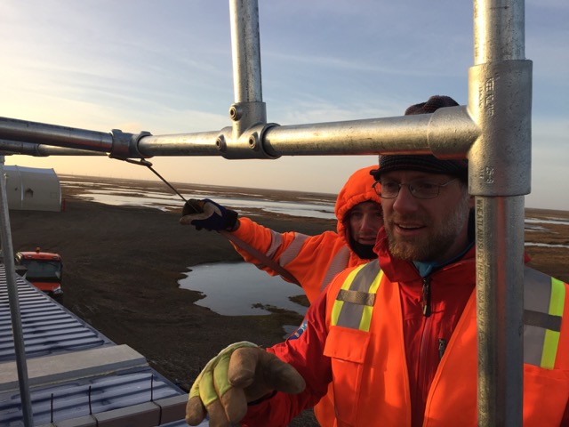
Matt and Wessley King, one of the AMF-3 operators, installing the rack for the PIP.
In addition to the cloud properties, we’re interested in observing the energy exchange at the surface itself. This exchange takes place in several forms, and one that we’re looking to measure is the extent to which turbulent motions in the atmosphere result in heat transfer between the surface and the atmosphere. Of specific interest is how this process evolves as the surface transitions from one that has open water to one that is frozen. Getting this right in models is critical if we’re going to forecast sea ice and understand how climate is evolving, and the measurements we’re collecting are going to be used for evaluation and development of these models, including the Regional Arctic System Model (RASM), run within our group in NOAA’s Physical Sciences Division for sea ice prediction. To get these measurements, we’re going to be flying the DataHawk unmanned aircraft, which was developed at the University of Colorado, in a variety of different ways.
As with any field campaign, the timing of the campaign can really influence the ultimate quality of the dataset. In general, fall is a time when there is extensive cloud cover over Northern Alaska, so I’m very optimistic that we’ll get good cloud conditions to sample. It is less certain that we’ll be able to observe the open water to ice transition. Historically, this would be a great time to see this, but with a thinning sea ice pack, the “ice in” date is getting to be later and later. At the moment, the offshore water still appears to be quite warm, which does not bode well for it freezing over any time soon. However, the contrast between the water and the land surface should still provide opportunities for understanding the spatial variability in this energy exchange. The biggest wildcard continues to be the winds. The forecast has them dying off to more manageable levels by sometime tomorrow night – I hope that’s right, and we’ll be keeping a close eye on the conditions.
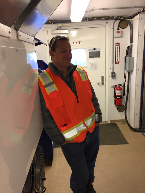
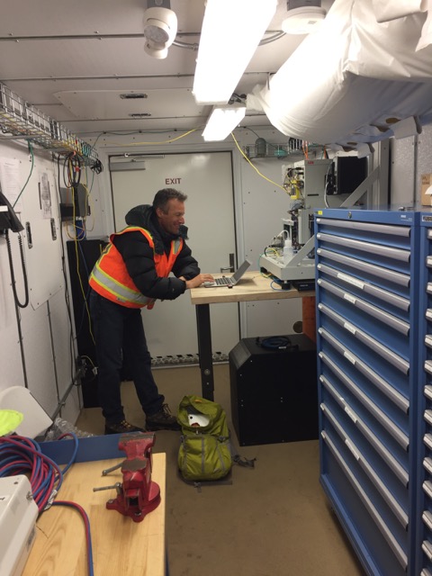
Steve, doing his best “I’m ready to be flying again” pose.