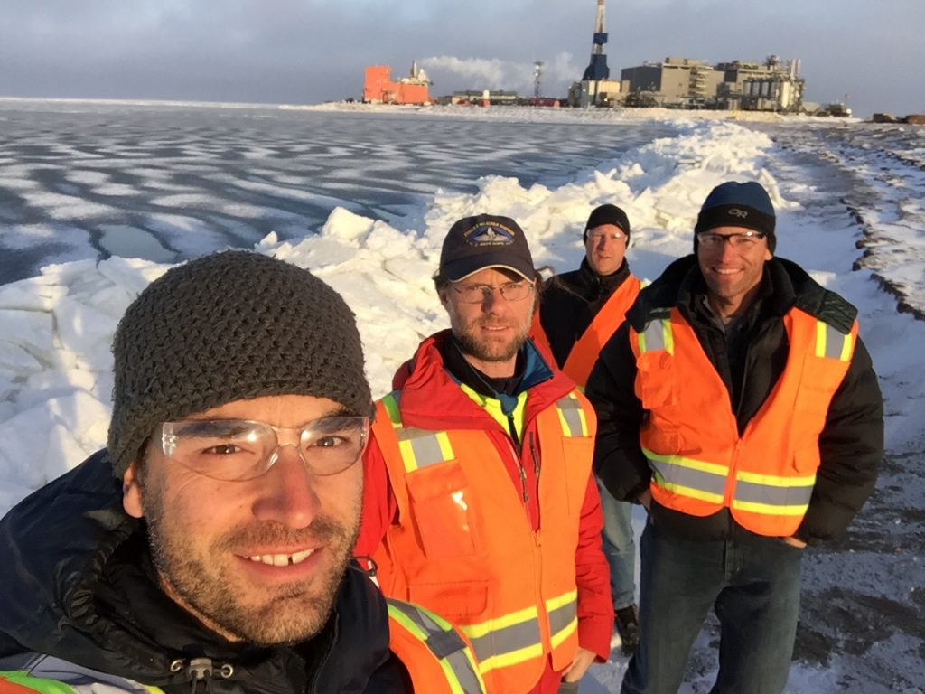
The team pauses for a photo at the ice edge. The ice piles in the background had been stacking up along the coast since last night due to the force of the wind pushing it on shore.
Our final day at Oliktok Point was a fairly quiet one. As the forecast predicted, the winds kicked up to around 20 mph this morning, and didn’t get any better from there. Doug and I made an attempt to get a plane up this morning, but a combination of wind, visibility, and aircraft issues prevented us from flying. Therefore, we spent the rest of the morning getting stuff ready for the trip back, packing our stuff back at the camp, and doing some initial data analysis on the flights completed so far.
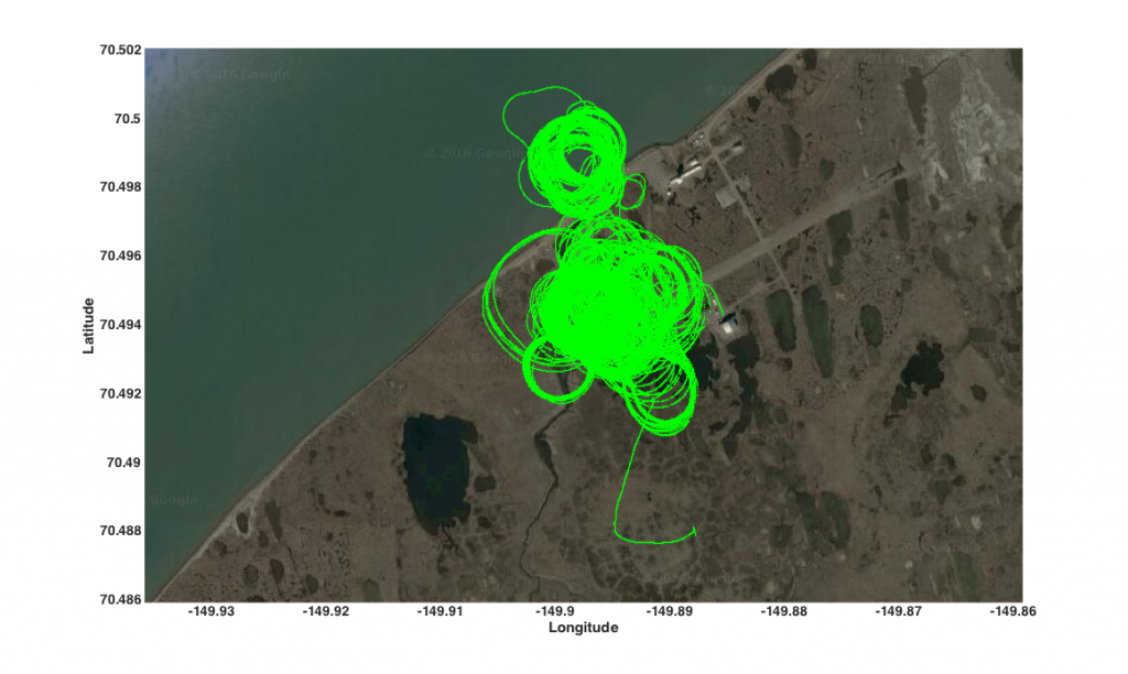
The flight tracks from all of the DataHawk flights from this campaign. A lot of profiles and loiter circles!
The last time we had a DataHawk campaign up here, I did a “by the numbers” summary at the end. I figured I’d do a quick comparison between this time around and the last. Below, I summarize this trip (last summer’s numbers are in parentheses):
- Number of days spent on site at Oliktok: 11 (13.5)
- Total number of flights: 41 (163)
- Total number of flight hours: 17.3 (23.2)
- Highest altitude flown: 450 m (850 m)
- Lowest altitude flown (not during take off/landing): 10 m (1 m)
- Number of aircraft lost: 0 (0)
- Number of times the ground station was started: 58 (348)
- Number of weather balloons launched by ERASMUS team members: 1 (2)
- Number of bears seen: 0** (2) ** But we did see some polar bear prints!
- Number of radars we would really have preferred not to have had to deal with: 2 (2)
A couple of things really stand out to me. First, we started the ground station about 1/6 as many times, which is the result of two main things: 1) Dale Lawrence and his team have made incredible progress in advancing the DataHawk system to be able to handle the interference resulting from the USAF radar up here. This means that we had longer flights and less troubleshooting. 2) We only had five good flight days, as compared to nearly 12 last time around, limiting our opportunities to fly. But, despite this second fact, we only had slightly fewer flight hours — again, a testament to the greatly improved performance of the aircraft in this environment! Our average flight time this time around was a little over 25 minutes, with several flights over 40 minutes. Last time, we only averaged around 9 minutes, due to the major interference issues we faced. A great improvement!
Together with the tethered balloon data and that collected by the AMF, I think we got a pretty nice dataset to analyze and study further. While the campaign is wrapping up, the hard work is just beginning. This includes making all of these measurements easily accessible — all of these measurements, along with many others, are stored at the DOE ARM program”s data archive so that anyone can use them. After that, we use these measurements to actually advance our understanding on clouds and atmospheric processes. This can take quite some time, but without the measurements none of it is possible. I’ll leave it with some final photos of Oliktok — it’s been a long but relatively successful trip!
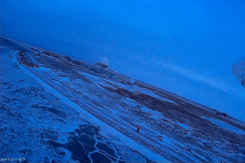
DataHawk 75 returns to the coastline and gets a good shot of Doug monitoring its flight from the beach (I was there with a truck, just outside of this shot!).
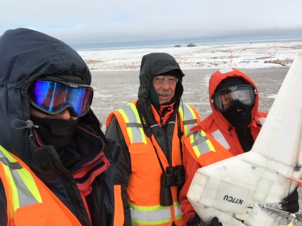
Doug, Al and Gijs (and DataHawk 77) bundle up to combat the cold wind this morning.