by Ola Persson
Recovering a buoy
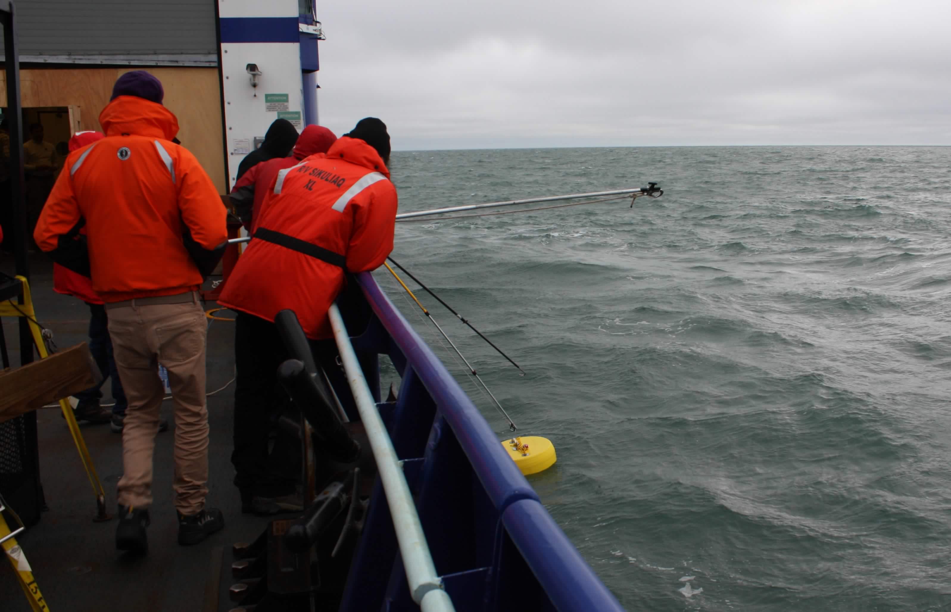
Satellite communications and sea conditions were greatly improved today. A stationary station was done to test deployment and recovery of a variety of wave buoys. Many scientists were pouring over various kinds of satellite images, some of which are called SAR (synthetic aperture radar) images, and weather forecast charts to identify the best locations for the upcoming research experiments on waves and air-ocean-ice interactions. The first two objectives of the cruise for the immediate two days are to deploy an oceanographic mooring and to recover an oceanographic glider (an automated subsurface data collector) that is running out of power. We have daily meetings discussing what was done the previous day, the plans should be for the upcoming days, instrument status updates, and any special announcements.