Today was slated as a preparation day, and we did our best to get everything ready to go. At the start of the campaign, there are a variety of things that need to be done — some of them daily, others only once or twice — to ensure that we get good quality measurements. For example, we have one sensor with us that measures the size and amount of particulate matter in the atmosphere. To ensure that the instrument is providing useful information, we need to perform a calibration to particles of a known size. Additionally, we have sensors for the Pilatus that measure the humidity of the atmosphere. As these age, they need to be heated up to burn of any oxidation that forms on the sensor. If this is not done, the readings that we get back would be erroneously low. Finally, we have instruments that measure the amount of energy transferred through the atmosphere. One of the fantastic things about the Oliktok Point observatory is that not only do we have airspace in which to operate our aircraft, but the US Department of Energy Atmospheric Radiation Measurement (ARM) program also operates a world class atmospheric observatory here. This facility, one of ARM’s Mobile Facilities (AMFs), has sensors that make comparable radiation measurements to ours. Therefore, we wanted to do a cross-comparison between the two. While this may seem like a simple task, since our sensors are designed to be mounted to our unmanned aircraft, we first had to build a structure to mount them to. Fortunately, there were a bunch of old pallets and scrap wood pieces in the hangar and we spent the time directly after lunch assembling a makeshift pedestal. Then, we mounted them in close proximity to the ARM sensors on the rooftop deck for an hour or so of side-by-side sampling. The hardest part was to get the thing strapped down in the -35 F windchill!
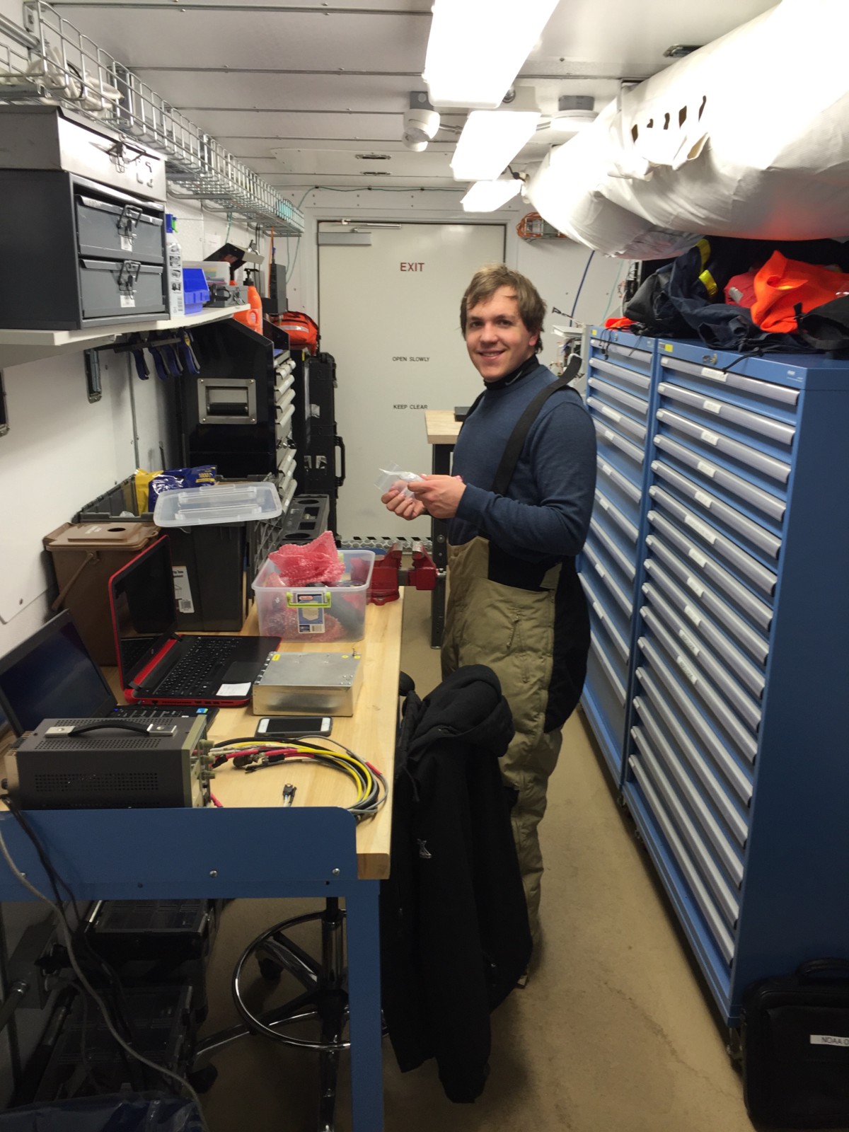
Phillip prepares equipment for testing our instruments. Everything checked out ok!
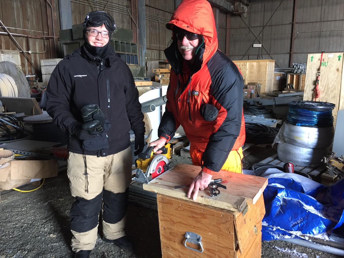
Phillip and Al cutting wood for our makeshift radiometer rack in the Oliktok hangar.
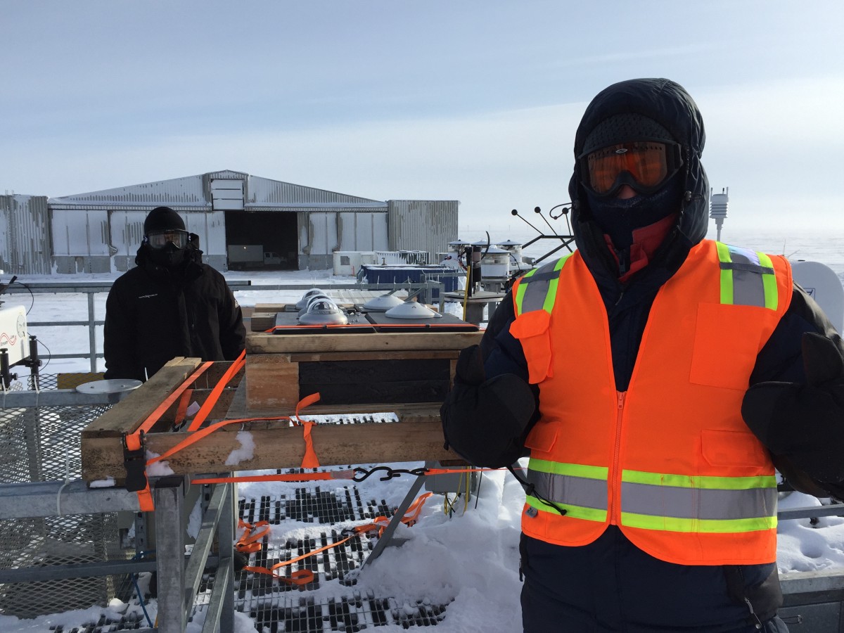
The radiometer rack installed on top of the AMF-3 alongside the ARM radiometers. That’s me in the foreground, hiding beneath a good amount of gear to combat the -35 F windchill!
Speaking of all of these sensors, I should probably provide some background on what we are measuring and, perhaps more importantly, why we are up here in the first place. At the highest level, we are making measurements that will help us better understand things related to energy transfer in the atmosphere. This includes, clouds, aerosol particles, and the temperature and humidity structure of the lower atmosphere. Why is this important? Well, observations tell us that the Earth is warming. In particular, the Arctic appears to be warming at a faster rate than the rest of the planet. We understand that increased greenhouse gas concentrations (carbon-dioxide, methane, and others) contribute strongly to warming. But what is substantially less-well understood is what the net impact will be. This is because there are a variety of feedbacks on the system that can alter the total impact. One example of a feedback is what is known as the “ice-albedo feedback” — here, a warming planet results in the melting of ice surfaces, which, in turn makes the surface of the earth darker than it would be if the ice had not melted. A dark surface absorbs more energy from the sun than a bright reflective surface (the “albedo” dictates the amount of energy reflected from the surface), meaning that the surface will warm more readily. This warm surface will also emit more energy to the atmosphere, resulting in more warming, and because this feedback amplifies the initial warming, it is known as a positive feedback loop. There are also feedback loops that are substantially less-well understood. Many of these have to do with water vapor and clouds in the atmosphere. While models can help us by providing insight into the behavior of these feedbacks in a changing climate, these models tend to be challenged by processes related to clouds and radiation. And this is why we need to advance our knowledge of key processes related to these things, which is what we are setting out to do.
So why the unmanned aircraft? These platforms provide us with a unique, new perspective on the atmosphere. We have several observatories located on the surface of the earth that provide very highly detailed measurements of a variety of things, including aerosols, radiation and clouds. However, these observatories generally sample a single point in space, which may be impacted by its own local environment. Models, on the other hand, do things at an area-averaged scale, meaning that each calculation in the model is done to represent a particular “grid-box”. Since we don’t have the computing power to track every molecule in the atmosphere, we instead handle things over a given amount of volume. The scale of these boxes varies widely from model to model, with detailed high-resolution models using grid boxes that only cover a few meters per box (but the whole model may only cover a few kilometers of area), and global models generally have grid-boxes on the scale of a couple of hundred kilometers. Since the feedback questions of interest require a global perspective, it can be challenging to evaluate and advance the models necessary to make progress on these questions with a single point measurement. Unmanned aircraft can provide information on the variability of quantities of interest within a grid box. Additionally, surface measurements provide only limited information on how things change with height in the atmosphere. For example, the atmospheric particles sampled at the surface may or may not be the same as those several hundred (or thousand) meters overhead. Since aerosol particles are a critical component to the formation and impact of clouds, it can be challenging to understand how these particles are impacting changes to cloud properties. This is another unique viewpoint that unmanned aircraft can provide, as they can sample a profile to obtain information between the surface and the cloud. With the right platforms, these measurements can be obtained in places and conditions where manned aircraft would not be operating, and close to the ground in the Arctic during winter conditions is definitely one of those places.
These were the winds this morning after breakfast. They only got fiercer from there!
Having said all of this, these planes do have operational limits for safe flying. Today, winds were definitely pushing those limits, with winds upwards of 30 miles per hour toward the end of the day. At this point, much of our equipment has been tested, assembled and ready to go and we need a little bit of cooperation from a weather perspective. We’ve been up here before and know that the weather can change quickly, so at this point we’re hoping for a quick transition to slightly calmer conditions!