Last week I collected field data at Chalk Creek with my mentor and a research scientist from the United States Geological Survey. Each of us worked on our own separate projects, but throughout the day we all helped with each other’s research. It was really cool to see how scientists collaborate and share data, while conducting different research at the same site.
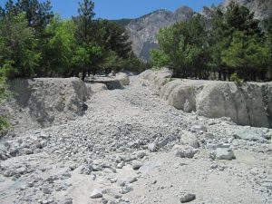
Sediment flows downhill into the creek bed. The sediment supplied to the channel here alters the bed load and channel slope. I am looking at how this sediment affects sedimentation downstream.
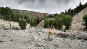
My mentor Charlie Shobe spent hours surveying thousands of points on the debris flow. A laser is used to collect distance and elevation points.
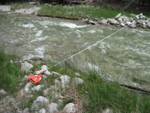
I walked across the creek, measuring rocks along the tape measure. Not a bad way to spend a day.


Is the nick point above the debris flow in the top picture by any chance? It looks sort of like a desolate spot, but I’m sure it’s great to work with a team and see what each person is doing. Just expands your knowledge base.