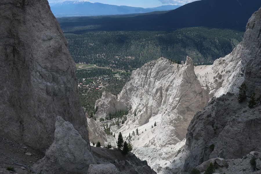
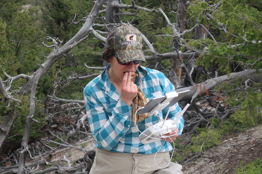
After days of annotating images of the debris flow site at Chalk Cliffs, I finally got to visit for myself! To beat the afternoon storms, Katy, Jess, and I got a 5 AM start, piled our packs into the Subaru, and started down to Buena Vista, Colorado. With drone and batteries in tow, we made it up the steep climb to the top of the catchment in about an hour. At the top, we walk along a narrow ridge until we reach the only small space flat enough to set up the landing pad. Once we have the drone in the air, it circles the catchment, travelling along a series of programmed checkpoints and taking pictures in between. Then it returns to where we are, we land it, give it a new battery pack, and send it up again. The small flat space on the ridge makes landing it a bit tricky, because if you miss the target it will either roll down the slope with trees and rocks or the slope into the basin.
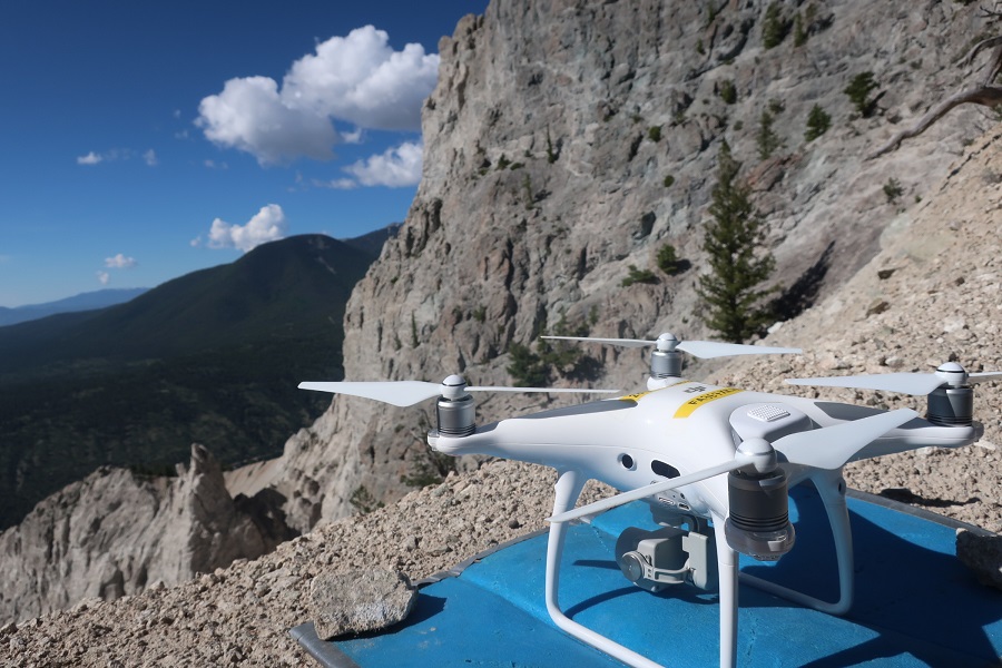
By the time the storm clouds rolled in, we successfully completed nine flights and were on our way back down the mountain. From here on out, I will be using these images, as well as images from past trips, on a software called LabelMe to distinguish colluvium (the loose sediment you can see under the drone pad in the above picture) from trees and bedrock (such as the wall of the basin above) and then attempting to train the computer to recognize these features on its own. Cheers to a busy week ahead!