As the FirnCover 2015 project comes to a close, our climate scientists successfully completed the largest network of firn compaction instruments ever deployed, monitoring continuously on the ice sheet. The FirnCover network now consists of 41 separate instruments installed at 8 stations across Greenland!
We look forward to hearing from the researchers about the data they’ll be collecting over the next few years. Stay tuned!
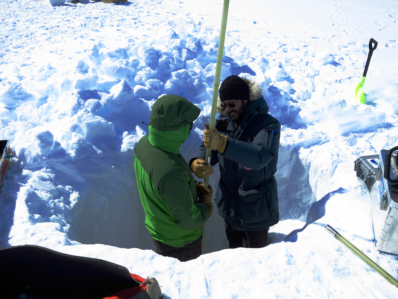
Shane and Babis drilling a firn core at Crawford Point. Photo by Mike MacFerrin, 2015
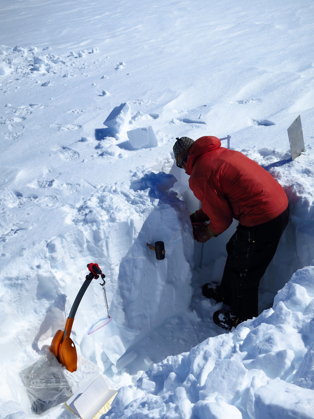
Max measuring snow pit densities at the EastGrIP site. Photo by Mike MacFerrin, 2015
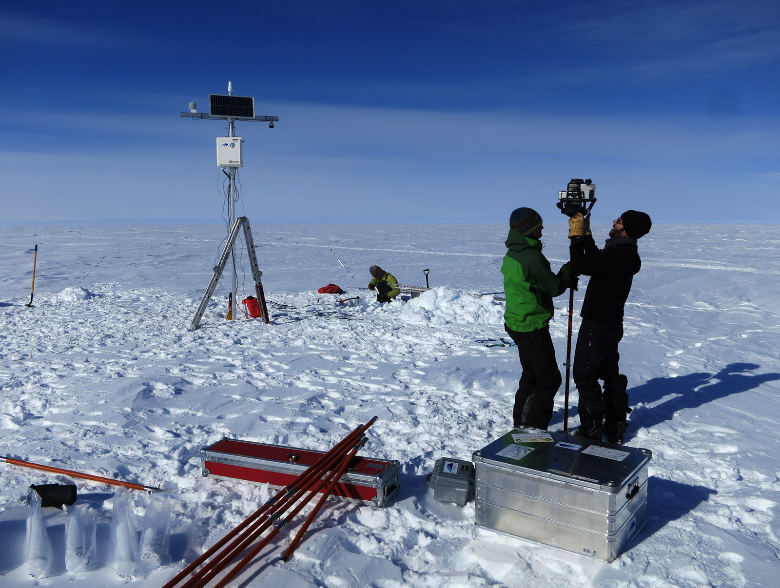
Drilling and logging, with a new partially-assembled FirnCover tower at Summit camp. Photo by Mike MacFerrin, 2015.
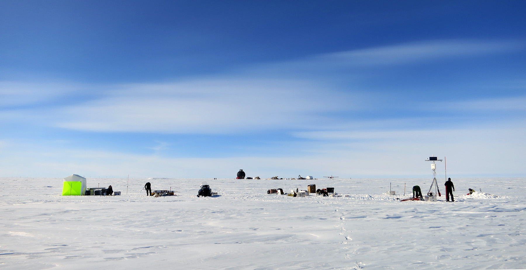
The whole team working at EastGrIP, with the NEEM dome and traverse equipment a kilometer in the background. Photo by Mike MacFerrin, 2015.
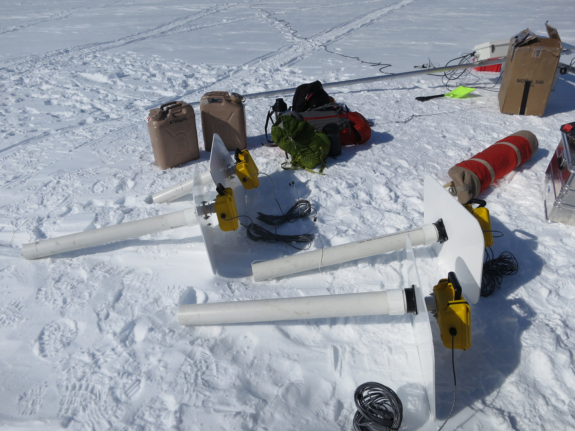
FirnCover Compaction instruments, assembled and ready to install over boreholes. Photo by Mike MacFerrin, 2015.