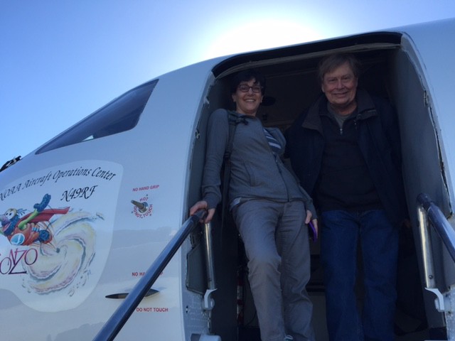
HONOLULU, HAWAII — Today, the NOAA Team successfully completed the first research flight of the El Nino Rapid Response Field Campaign. The NOAA Gulfstream IV (G-IV) lifted off the deck from Honolulu International Airport at 11:00 am Hawaii Time and dropped 31 sondes according to our originally filed 8-hour flight plan: flying south out of Hawaii, around the tropical convection, then turning north and heading back home — all the while dropping sondes in a “house” pattern. As if that wasn’t amazing enough, this mission also marked the first time that the G-IV crossed south of the Equator!
Why are we flying to the tropics? The measurements we’re taking from the G-IV give us an unprecedented glimpse into the “first link in the chain” of the atmosphere’s response (or what happens in the atmosphere) in El Niño conditions. If we can understand that initial response (or link) better, then we can improve weather predictions under El Niño conditions further down the chain in California and other parts of the U.S., including storms on the East Coast.
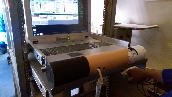
So, what are “sondes”? The sondes are like mini-weather stations housed in a cardboard tube. They’re “dropped” from the tail section of the G-IV, through a “chute.” Once they are airborne, a small parachute deploys allowing the sonde to drift down to the surface. During its descent, the sonde continuously transmits data back to the plane, where it’s quality checked. The sonde measurements are then uploaded via satellite to a global communications system that makes the data available quickly to weather services, forecasters, and modelers around the world through the World Meteorological Organization.
Where do the sondes go? The sondes are dropped from the plane (which is flying at an altitude of ~45,00 feet) at specified “waypoints.” The waypoints are determined by the mission scientists and forecast teams based on the current and predicted weather situation and what questions about El Niño we’re trying to address under the present conditions.
What information does the sonde actually provide? The sonde gathers data on atmospheric temperature, humidity, pressure, wind speed and wind direction — info that is critical to understanding and forecasting weather, El Niño, and the effects of El Niño.
What do the sondes “show” you and how do you use the information to better forecast El Niño events? To find out, you’ll have to stay tuned for upcoming blogspots!